
15 Essential Websites, Air Quality Tools & Emergency Resources Every American Should Know
Every summer, millions of Americans check the weather before heading outside. Increasingly, however, another question has become just as important:
Is the air safe to breathe?
Wildfires are no longer isolated disasters affecting only remote forests in the western United States. Massive fires in California, Oregon, Washington, Arizona, Colorado, New Mexico, Alaska, and especially Canada have transformed wildfire smoke into a nationwide issue.
In recent years, smoke from Canadian wildfires has spread across much of the United States, affecting air quality in cities thousands of miles away. Residents of New York, Chicago, Minneapolis, Detroit, Boston, Philadelphia, Washington, D.C., and many other communities have experienced hazardous conditions despite being far from the flames.
Wildfire smoke can travel incredible distances. Tiny particles known as PM2.5 remain suspended in the atmosphere and can enter deep into the lungs, affecting people of all ages. Even healthy adults may notice irritated eyes, coughing, headaches, or shortness of breath after prolonged exposure.
Fortunately, we now have access to powerful online tools that make it possible to monitor active fires, track smoke movement, check local air quality, receive emergency alerts, and prepare before conditions become dangerous.
This guide brings together the most useful wildfire and air quality resources available today. Whether you're planning a vacation, hiking in a national park, commuting to work, or simply deciding whether it's safe for your children to play outside, these websites can help you make informed decisions.
Why Every American Should Monitor Wildfires
Many people assume wildfires only matter if they live near forests.
That assumption is becoming increasingly outdated.
Today's wildfires burn hotter, spread faster, and produce enormous amounts of smoke that can cross entire countries. Weather systems transport smoke over mountains, across rivers, and into densely populated metropolitan areas.
Scientists have documented smoke traveling more than 3,000 miles across North America. In some cases, smoke from Canadian wildfires has even reached Europe.
Because of this, checking wildfire conditions has become just as important as checking tomorrow's weather forecast.
Even if flames are hundreds of miles away, the air around your home may still become unhealthy.
Wildfire information is especially valuable for:
- Families with young children
- Older adults
- People with asthma or COPD
- Outdoor workers
- Runners and cyclists
- Campers and hikers
- Travelers
- Pet owners
- Photographers
- Road-trip enthusiasts
Being informed allows you to reduce unnecessary exposure and make smarter travel and outdoor activity decisions.
Understanding the Air Quality Index (AQI)
One number appears on nearly every air quality website:
AQI, or the Air Quality Index.
The AQI is a standardized system used in the United States to describe how clean or polluted the air is.
The lower the number, the cleaner the air.
Generally speaking:
- An AQI below 50 represents excellent air quality.
- Between 51 and 100 is usually acceptable for most people.
- Above 100, sensitive groups should begin limiting outdoor activity.
- Once AQI exceeds 150, everyone may experience health effects.
- Levels above 200 are considered very unhealthy.
- Values above 300 indicate hazardous conditions where people should avoid spending time outdoors whenever possible.
While AQI includes several pollutants, wildfire smoke is primarily associated with extremely fine particles called PM2.5.
These microscopic particles are about thirty times smaller than the width of a human hair.
Because of their tiny size, they can bypass many of the body's natural defenses and travel deep into the respiratory system.
Why PM2.5 Is So Dangerous
Unlike larger dust particles that become trapped inside the nose or throat, PM2.5 particles penetrate deep into the lungs.
Researchers have linked long-term exposure to elevated PM2.5 concentrations with:
- Increased asthma attacks
- Reduced lung function
- Heart disease
- Stroke
- Lung inflammation
- Eye irritation
- Fatigue
- Headaches
- Increased emergency room visits
During severe wildfire events, PM2.5 concentrations can increase dramatically within only a few hours.
That's why monitoring air quality throughout the day is often more important than simply checking it once in the morning.
Website #1 – AirNow
Official Website:
If you only bookmark one wildfire resource after reading this guide, make it AirNow.
AirNow is the official air quality platform supported by the U.S. Environmental Protection Agency (EPA) and its government partners.
Unlike many commercial websites, AirNow provides trusted data collected from official monitoring stations across the country.
The homepage immediately displays current air quality conditions, while interactive maps allow users to zoom into individual states, cities, and neighborhoods.
One of AirNow's most useful features is its wildfire smoke layer.
Instead of only showing pollution levels, the website combines current air quality with smoke information, helping users understand whether wildfire smoke is affecting their region.
AirNow also provides easy-to-understand health recommendations.
Rather than simply displaying numbers, it explains what those numbers actually mean.
For example, if conditions become unhealthy, the website may recommend reducing outdoor exercise, keeping windows closed, or using air filtration indoors.
Why AirNow is worth using
- Official U.S. government data
- Reliable AQI forecasts
- Interactive air quality maps
- Wildfire smoke information
- Health recommendations
- Completely free
Best for
Families, schools, travelers, runners, outdoor workers, and anyone wanting reliable air quality information.
Website #2 – IQAir
Official Website:
If AirNow is the best choice inside the United States, IQAir is arguably the world's leading air quality platform.
IQAir monitors thousands of cities in more than one hundred countries.
Its beautifully designed maps combine official government monitoring stations with additional sensors, providing remarkably detailed coverage.
This makes IQAir especially valuable for travelers planning international trips.
Instead of wondering whether pollution may be an issue at your destination, you can check current conditions before leaving home.
Another major advantage is the ability to compare air quality between cities.
For example, you can instantly compare Los Angeles, London, Tokyo, Sydney, Paris, Toronto, and Seoul on a single platform.
IQAir also provides historical pollution trends, helping users understand whether poor air quality is temporary or part of a longer pattern.
Why IQAir stands out
- Worldwide coverage
- Beautiful interactive maps
- Seven-day forecasts
- PM2.5 tracking
- Mobile applications
- Historical air quality data
Best for
International travelers, photographers, digital nomads, business travelers, and anyone monitoring global air pollution.
Pro Tip
Don't rely on only one website.
Checking both AirNow and IQAir often provides a more complete picture, especially during major wildfire events affecting multiple regions.
Website #3 – NASA FIRMS
Official Website:
https://firms.modaps.eosdis.nasa.gov
Imagine seeing active wildfires from space.
That's exactly what NASA's Fire Information for Resource Management System (FIRMS) allows you to do.
Instead of relying only on reports from firefighters, NASA uses satellites equipped with advanced thermal sensors capable of detecting active fires across the globe.
These satellites continuously scan Earth's surface and identify heat signatures that indicate active burning.
The result is one of the most impressive wildfire monitoring systems available to the public.
NASA FIRMS displays active fire locations, hotspots, burn intensity, and satellite observations that update frequently throughout the day.
Researchers, emergency managers, journalists, and wildfire professionals rely on FIRMS because it often identifies new fires before they become major news stories.
For outdoor enthusiasts, it offers another important benefit.
Before visiting a national park, hiking trail, or camping area, you can quickly determine whether nearby fires may affect your trip.
Why NASA FIRMS is unique
- Satellite fire detection
- Near real-time updates
- Worldwide coverage
- Heat maps
- Active fire locations
- Free public access
Best for
Researchers, hikers, photographers, campers, journalists, and anyone interested in tracking active fires directly from satellite imagery.
Website #4 – NOAA Weather & Smoke Forecasts
Official Website:
Knowing where fires are burning is useful.
Knowing where the smoke will travel tomorrow is even more valuable.
That's where the National Oceanic and Atmospheric Administration (NOAA) becomes essential.
NOAA develops advanced atmospheric models capable of predicting how smoke moves across North America.
These forecasts help emergency managers, airlines, hospitals, schools, and millions of residents prepare for changing conditions before they arrive.
During major wildfire outbreaks, smoke can shift dramatically within only a few hours as wind direction changes.
NOAA's forecasts provide an early warning that allows people to postpone outdoor activities, protect vulnerable family members, or adjust travel plans.
In addition to smoke forecasts, NOAA also provides detailed weather information, including wind speed, humidity, lightning forecasts, and drought conditions—all critical factors influencing wildfire behavior.
Why NOAA deserves a bookmark
- Smoke movement forecasts
- Weather forecasts
- Wind maps
- Fire weather outlooks
- National coverage
- Official government information
Świetnie! Oto Part 2, napisany w tym samym stylu, gotowy do wklejenia do UNA CMS.
Website #5 – InciWeb
Official Website:
https://inciweb.wildfire.gov
When a major wildfire makes national headlines, one of the first websites firefighters, emergency managers, journalists, and local residents check is InciWeb.
Unlike satellite-based services that simply display hotspots, InciWeb provides official incident reports directly from the agencies managing active wildfires.
Each wildfire has its own dedicated page where users can find the latest updates without relying on social media rumors or unofficial reports.
Typical information includes:
- Current fire size
- Containment percentage
- Cause of the fire (when known)
- Evacuation orders
- Road closures
- Fire behavior updates
- Incident maps
- Daily situation reports
- Public safety announcements
If you're planning to visit a national park, travel through mountainous regions, or have family living near an active wildfire, InciWeb is one of the most reliable sources available.
Why InciWeb deserves a bookmark
- Official wildfire incident reports
- Daily operational updates
- Evacuation information
- Road closures
- Fire maps
- Trusted by emergency agencies
Website #6 – PurpleAir
Official Website:
Government air quality stations are extremely accurate, but they are often spaced many miles apart.
PurpleAir takes a different approach.
Instead of relying solely on government monitoring stations, PurpleAir has built one of the world's largest community-based air quality networks.
Thousands of homeowners, schools, universities, businesses, and volunteers have installed PurpleAir sensors outside their homes and buildings.
The result is an incredibly detailed pollution map.
In many cities, you can compare air quality street by street instead of only city by city.
This is particularly useful during wildfire season because smoke doesn't spread evenly.
One neighborhood may experience significantly cleaner air than another just a few miles away.
Outdoor runners, cyclists, photographers, parents, and pet owners frequently use PurpleAir before spending extended periods outside.
Why PurpleAir is unique
- Neighborhood-level monitoring
- Thousands of community sensors
- Live PM2.5 readings
- Interactive map
- Excellent mobile experience
Website #7 – Zoom Earth
Official Website:
If you've ever wanted to watch Earth almost in real time from space, Zoom Earth is one of the most fascinating websites available.
It combines high-resolution satellite imagery with weather information to create an impressive live view of our planet.
During wildfire season, Zoom Earth allows users to observe:
- Active wildfire locations
- Massive smoke plumes
- Cloud cover
- Weather systems
- Hurricanes
- Storm development
- Temperature patterns
Seeing smoke spread across multiple states is a powerful reminder of how quickly wildfire conditions can change.
The website is intuitive, fast, and works beautifully on both desktop and mobile devices.
Many meteorologists and weather enthusiasts consider it one of the best free environmental visualization tools available today.
Perfect for
- Weather enthusiasts
- Photographers
- Travelers
- Journalists
- Students
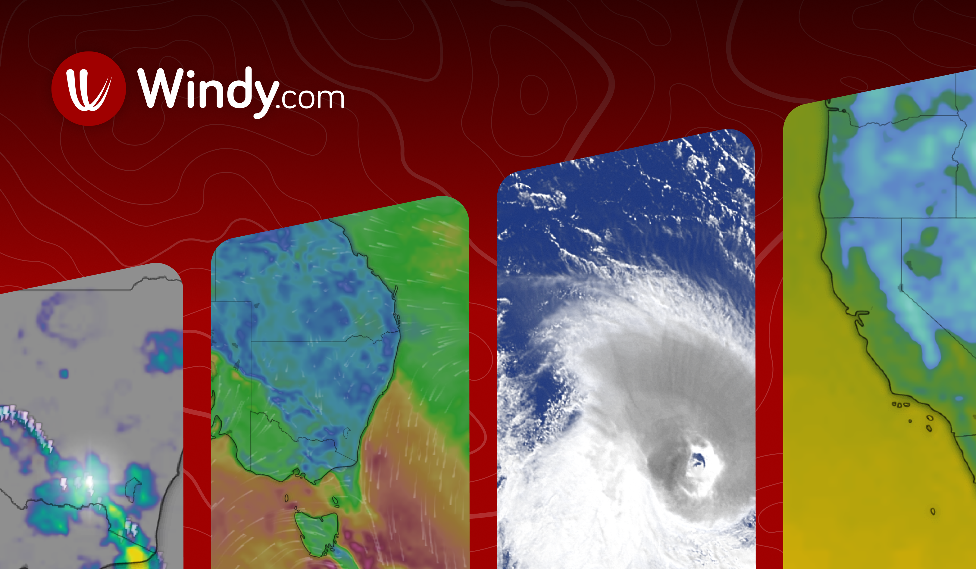
Website #8 – Windy
Official Website:
Wind plays one of the most important roles in wildfire behavior.
A sudden change in wind direction can rapidly spread flames, alter smoke movement, and dramatically reduce air quality hundreds of miles away.
Windy helps visualize exactly what's happening in the atmosphere.
The website combines dozens of weather models into an interactive map that displays:
- Wind speed
- Wind direction
- Temperature
- Rainfall
- Humidity
- Air pressure
- Clouds
- Satellite imagery
Many firefighters, pilots, sailors, hikers, and outdoor photographers rely on Windy every day.
When combined with NOAA smoke forecasts and NASA FIRMS, Windy provides an incredibly detailed understanding of how wildfire smoke is likely to move.
Why Windy is one of the best weather tools
- Beautiful animations
- Accurate forecasts
- Interactive maps
- Multiple weather models
- Excellent mobile app
Website #9 – Ready.gov
Official Website:
Preparedness begins long before an emergency happens.
Ready.gov is the official preparedness website of the U.S. government and offers practical guidance for almost every type of disaster—including wildfires.
Instead of focusing on active fires, Ready.gov teaches people how to prepare before disaster strikes.
Topics include:
- Building an emergency kit
- Creating family evacuation plans
- Protecting pets
- Preparing important documents
- Emergency communication
- Shelter information
One of the biggest mistakes families make is waiting until evacuation orders have already been issued.
Ready.gov emphasizes planning ahead, which can save valuable time during rapidly changing wildfire situations.
Website #10 – EPA Air Sensor Toolbox
Official Website:
The Environmental Protection Agency offers a wide range of educational resources explaining how air quality monitoring actually works.
If you've ever wondered:
- How AQI is calculated
- What PM2.5 means
- How sensors measure pollution
- Why different websites sometimes show different numbers
the EPA provides detailed explanations written in language that is easy to understand.
Although this website is less interactive than others on this list, it remains one of the best educational resources available.
Website #11 – Cal Fire
Official Website:
California experiences some of the world's largest and most destructive wildfires.
Because of this, Cal Fire has developed one of the most advanced wildfire information systems available.
The website provides:
- Live fire maps
- Evacuation warnings
- Incident reports
- Fire statistics
- Prevention advice
- Historical wildfire information
Even if you don't live in California, Cal Fire is worth exploring because many of its educational resources apply to wildfire preparedness everywhere.
Website #12 – Canadian Wildland Fire Information System (CWFIS)
Official Website:
https://cwfis.cfs.nrcan.gc.ca
Many Americans are surprised to learn that smoke affecting their communities often originates in Canada.
The Canadian Wildland Fire Information System provides official information about fires burning across Canada's vast forests.
If you're wondering why smoke suddenly appeared over the Midwest or Northeast, CWFIS often provides the answer.
The website includes:
- Active fire maps
- Fire danger ratings
- Weather conditions
- Burned area statistics
- Forecast products
During recent wildfire seasons, millions of Americans relied on Canadian wildfire information to better understand changing air quality.
Website #13 – American Red Cross
Official Website:
When wildfire threatens homes and communities, information alone isn't enough.
People also need help.
The American Red Cross provides emergency assistance before, during, and after disasters.
Visitors can learn how to:
- Prepare emergency kits
- Locate shelters
- Receive disaster assistance
- Download emergency apps
- Create evacuation plans
Their mobile application is particularly useful because it delivers emergency alerts directly to your phone.
Website #14 – Google Maps Wildfire Layer
Official Website:
Many people don't realize that Google Maps includes wildfire information in supported regions.
When enabled, the Wildfire Layer displays active fire locations together with useful information from emergency agencies.
Because millions of people already use Google Maps every day, it offers a familiar way to monitor wildfire activity while planning road trips or navigating unfamiliar areas.
Website #15 – National Interagency Fire Center (NIFC)
Official Website:
The National Interagency Fire Center coordinates wildfire management across the United States.
Its website is one of the best places to understand the broader national wildfire situation.
You'll find:
- National wildfire statistics
- Fire outlooks
- Situation reports
- Resource deployment updates
- Fire danger assessments
If you enjoy understanding the "big picture" rather than monitoring a single incident, NIFC is an outstanding resource.
Build Your Own Wildfire Information Toolkit
No single website can provide every piece of information you need.
The smartest approach is to combine several trusted sources.
A simple daily routine might look like this:
Start by checking AirNow to see your local AQI.
Next, open PurpleAir to compare neighborhood air quality.
If smoke levels are rising, visit NOAA to understand where the smoke is moving.
If you're traveling or hiking, check NASA FIRMS and InciWeb for active fires near your destination.
Finally, review Windy to understand wind conditions that could change the situation.
Using multiple sources together provides a much more complete understanding than relying on a single app.
Wildfire Emergency Checklist
Every household should prepare an emergency kit before wildfire season begins.
Your emergency supplies should include:
- N95 respirator masks
- Bottled drinking water
- Non-perishable food
- Flashlights
- Extra batteries
- Portable power banks
- Prescription medications
- Copies of important documents
- Pet food and supplies
- First aid kit
- Emergency cash
- Phone chargers
- Change of clothes
- Emergency blanket
- Portable radio
Store these items in an easily accessible location so they can be taken quickly if evacuation becomes necessary.
Wildfires are becoming an increasingly significant part of life across North America.
Fortunately, access to reliable information has never been better.
Whether you're monitoring air quality, tracking active fires, planning a road trip, or protecting your family during wildfire season, the websites featured in this guide provide some of the most accurate and useful information available.
Technology cannot prevent wildfires, but it can help us make better decisions, reduce unnecessary exposure to smoke, and respond more effectively during emergencies.
By bookmarking these trusted resources today, you'll be far better prepared for tomorrow's wildfire season.
Stay informed. Stay prepared. Stay safe.

 firms.modaps.eosdis.nasa.gov

 zoom.earth

 www.windy.com